File:Harshaw Area USGS Topographical Map.JPG
Jump to navigation
Jump to search
Size of this preview: 800 × 533 pixels. Other resolutions: 320 × 213 pixels | 640 × 427 pixels | 1,024 × 683 pixels | 1,200 × 800 pixels.
Original file (1,200 × 800 pixels, file size: 1.62 MB, MIME type: image/jpeg)
Captions
Captions
Add a one-line explanation of what this file represents
Summary[edit]
| Description |
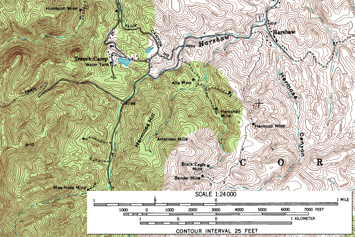
English: Harshaw Area - Segment of Topographic Map, Harshaw Quadrangle, Arizona, Santa Cruz County. 7.5 minute series. USGS 1958. |
| Date | |
| Source | USGS (see full map at File:Harshaw Quadrangle USGS Topographical Map.gif for more details). |
| Author | United States Geological Survey (USGS) |
| Permission (Reusing this file) |
Public domain |
| Annotations | This image is annotated: View the annotations at Commons |
Licensing[edit]
This image is in the public domain in the United States because it only contains materials that originally came from the United States Geological Survey, an agency of the United States Department of the Interior. For more information, see the official USGS copyright policy.
|
File history
Click on a date/time to view the file as it appeared at that time.
| Date/Time | Thumbnail | Dimensions | User | Comment | |
|---|---|---|---|---|---|
| current | 01:57, 17 July 2010 | | 1,200 × 800 (1.62 MB) | Transity (talk | contribs) | Add scale. |
| 19:46, 16 July 2010 |  | 1,200 × 800 (505 KB) | Transity (talk | contribs) | {{Information |Description={{en|1=Topographic Map, Harshaw Quadrangle, Arizona, Santa Cruz County. 7.5 minute series. USGS 1958.}} |Source=USGS |Author=USGS |Date=1958 |Permission={{PD-USGov-USGS}} |other_versions= }} |
You cannot overwrite this file.
File usage on Commons
The following page uses this file:
File usage on other wikis
The following other wikis use this file:
- Usage on en.wikipedia.org